Log in
All resources
Create a design
4,774 Free Images of Atlas Map
joan blaeu
copper engraving print
british library
1667 maps
coats of arms on maps
atlas novus (blaeu)
atlas van loon
atlas maior, vol 5 (england) - joan blaeu, 1667 - bl 114.h(star).5
bibliothèque nationale de france
atlas maior, vol 6 (scotland and ireland) - joan blaeu, 1667 - bl 114.h(star).6
turgot map of paris, bibliothèque nationale de france
maps of paris from bibliothèque nationale de france
turgot map of paris, bibliothèque nationale de france
maps of paris from bibliothèque nationale de france
turgot map of paris, bibliothèque nationale de france
maps of paris from bibliothèque nationale de france
turgot map of paris, bibliothèque nationale de france
maps of paris from bibliothèque nationale de france
turgot map of paris, bibliothèque nationale de france
maps of paris from bibliothèque nationale de france
maps of the duchy of limburg
1645 maps of belgium
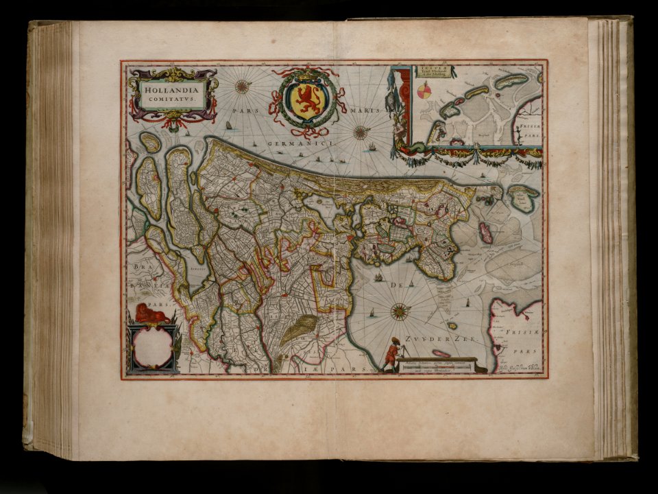
gemeente atlas van nederland - south holland
1860s maps of south holland
gemeente atlas van nederland - south holland
old maps of katwijk, south holland
maps of uppland
1645 in sweden
maps of paris from the david rumsey historical map collection
turgot map of paris, david rumsey historical map collection
history of brazil
coasts of brazil
atlas des anciens plans de paris by imprimerie nationale, 1880 from the musée carnavalet
maps of paris from paris musées
atlas sive cosmographicae (gerardus mercator, 1596)
hendrik hondius the younger
maps by willem and johannes blaeu
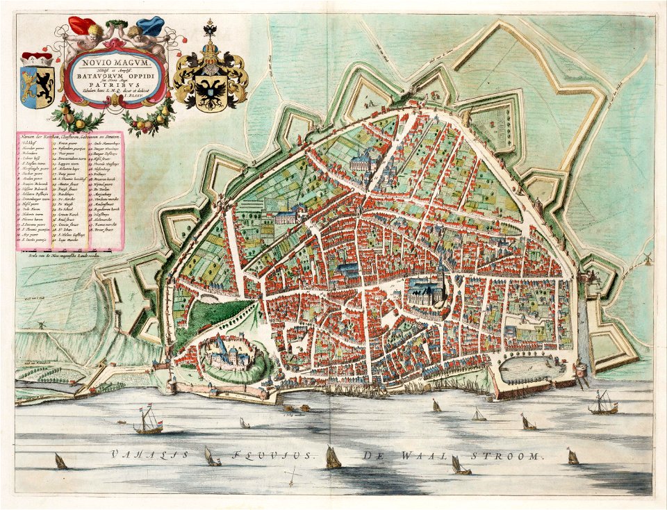
old maps of nijmegen
daniel friedrich sotzmann
grosser deutscher atlas
media contributed by erfgoed leiden en omstreken
joan blaeu
maps by john cary
1801 maps
maps from university of amsterdam special collections
atlas der neederlanden
maps from university of amsterdam special collections
atlas der neederlanden
maps from university of amsterdam special collections
atlas der neederlanden
atlas van der hagen (volume 4)
atlas van der hagen
old maps of arnemuiden
atlas van loon
1573 maps of europe
christian sgrothen
blaeu atlas of scotland 1654
coats of arms on maps
gemeente atlas van nederland - utrecht
ruwiel
history of tennessee
battle of belmont
old maps of roermond
upper guelders
17th-century maps of frankfurt am main
maps by willem and johannes blaeu
maps from university of amsterdam special collections
atlas der neederlanden
siege of lingen 1605
maps of lingen (ems)
turgot map of paris, norman b. leventhal map center
sheet 19 of the turgot map of paris
maps of paris from bibliothèque nationale de france
proletarian literature
catalan atlas, 1959 reproduction
coats of arms on maps
siege of geertruidenberg 1593
maps of geertruidenberg
gemeente atlas van nederland - utrecht
maps of houten
1640s maps of north rhine-westphalia
history of cologne
old maps of sierra leone
1662 maps
gemeente atlas van nederland - south holland
maps of south holland
atlas maior, vol 9 (italy) - joan blaeu, 1667 - bl 114.h(star).9
1667 maps of italy
atlas maior, vol 8 (france ii and switzerland) - joan blaeu, 1667 - bl 114.h(star).8
1667 maps
atlas maior, vol 12 (america) - joan blaeu, 1667 - bl 114.h(star).12
1667 maps
atlas maior, vol 9 (italy) - joan blaeu, 1667 - bl 114.h(star).9
1667 maps of italy
atlas maior, vol 12 (america) - joan blaeu, 1667 - bl 114.h(star).12
1667 maps
atlas maior, vol 4 (netherlands) - joan blaeu, 1667 - bl 114.h(star).4
1667 maps
atlas maior, vol 11 (asia) - joan blaeu, 1667 - bl 114.h(star).11
1667 maps
atlas maior, vol 12 (america) - joan blaeu, 1667 - bl 114.h(star).12
1667 maps
atlas maior, vol 12 (america) - joan blaeu, 1667 - bl 114.h(star).12
1667 maps
atlas maior, vol 9 (italy) - joan blaeu, 1667 - bl 114.h(star).9
1667 maps of italy
atlas maior, vol 6 (scotland and ireland) - joan blaeu, 1667 - bl 114.h(star).6
1667 maps
atlas van der hagen (volume 4)
atlas van der hagen
old maps of westphalia
bindenschild
catalan atlas, 1959 reproduction
old maps of the sea of marmara
atlas maior, vol 3 (germany) - joan blaeu, 1667 - bl 114.h(star).3
johannes gigas
atlas maior, vol 3 (germany) - joan blaeu, 1667 - bl 114.h(star).3
johannes gigas
old maps of culemborg
atlas van loon
fortifications of the eighty years' war
atlas van loon
russian empire in thomas kitchen's general atlas (1773)
general atlas (1773)
old maps of trinidad and tobago
17th-century maps of venezuela
maps by willem and johannes blaeu
1680s maps of brazil
maps by john cary
1799 maps
1640s maps of the netherlands
coats of arms on maps
novus atlas sinensis
old maps of jiangxi
gemeente atlas van nederland - south holland
19th-century maps of rotterdam
maps of the west-indische compagnie
1665
lucas janszoon waghenaer
bretagne in the 1580s
old maps of vlissingen
atlas van loon
old maps of bredevoort
maps by isaak tirion
1860s maps of china
1863 maps of asia
maps of territories in the burgundian circle
1645 maps of belgium
old maps of dendermonde
atlas van loon
17th-century maps of herefordshire
old county maps of herefordshire
maps of paris from the david rumsey historical map collection
maps of paris by caspar merian
map collection of leibniz-institut für länderkunde
1603 in art
gemeente atlas van nederland - groningen
maps of winschoten
gemeente atlas van nederland - south holland
maps of wateringen
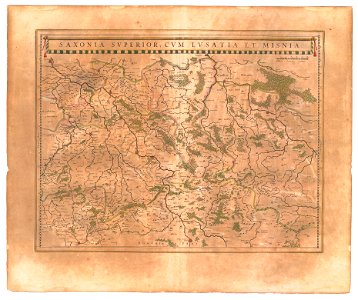
old maps of lusatia
old maps of saxony
gemeente atlas van nederland - south holland
1860s maps of south holland
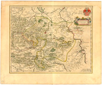
maps of the county of mansfeld
1645 maps
old maps of cities in switzerland
maps of biel/bienne
old maps of north holland
maps of west friesland
old maps of western pomerania
coats of arms on maps
atlas maior, vol 6 (scotland and ireland) - joan blaeu, 1667 - bl 114.h(star).6
1667 maps
atlas maior, vol 5 (england) - joan blaeu, 1667 - bl 114.h(star).5
17th-century maps of northamptonshire
atlas maior, vol 6 (scotland and ireland) - joan blaeu, 1667 - bl 114.h(star).6
1667 maps
atlas maior, vol 6 (scotland and ireland) - joan blaeu, 1667 - bl 114.h(star).6
1667 maps
atlas maior, vol 5 (england) - joan blaeu, 1667 - bl 114.h(star).5
17th-century maps of lancashire
atlas maior, vol 10 (spain and africa) - joan blaeu, 1667 - bl 114.h(star).10
1667 maps
atlas maior, vol 5 (england) - joan blaeu, 1667 - bl 114.h(star).5
17th-century maps of radnorshire
atlas maior, vol 12 (america) - joan blaeu, 1667 - bl 114.h(star).12
1667 maps
atlas maior, vol 5 (england) - joan blaeu, 1667 - bl 114.h(star).5
17th-century maps of leicestershire
atlas maior, vol 7 (france i) - joan blaeu, 1667 - bl 114.h(star).7
1667 maps
atlas maior, vol 5 (england) - joan blaeu, 1667 - bl 114.h(star).5
17th-century maps of brecknockshire
atlas maior, vol 5 (england) - joan blaeu, 1667 - bl 114.h(star).5
17th-century maps of staffordshire
atlas maior, vol 6 (scotland and ireland) - joan blaeu, 1667 - bl 114.h(star).6
1667 maps
atlas maior, vol 3 (germany) - joan blaeu, 1667 - bl 114.h(star).3
maps by wolfgang lazius
atlas maior, vol 6 (scotland and ireland) - joan blaeu, 1667 - bl 114.h(star).6
1667 maps
atlas maior, vol 6 (scotland and ireland) - joan blaeu, 1667 - bl 114.h(star).6
1667 maps
atlas maior, vol 9 (italy) - joan blaeu, 1667 - bl 114.h(star).9
1667 maps of italy
atlas maior, vol 5 (england) - joan blaeu, 1667 - bl 114.h(star).5
17th-century maps of yorkshire
atlas maior, vol 5 (england) - joan blaeu, 1667 - bl 114.h(star).5
17th-century maps of glamorgan
401 - 500 of 4,774
Next page
/ 48